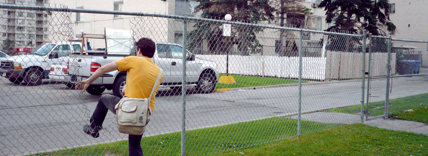
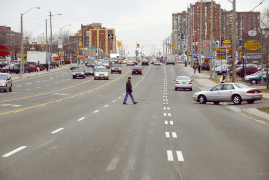
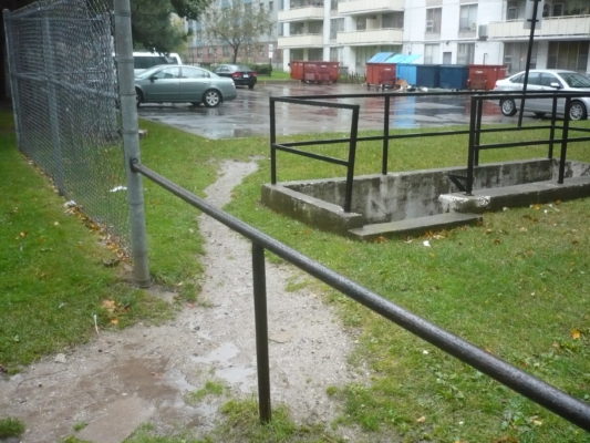
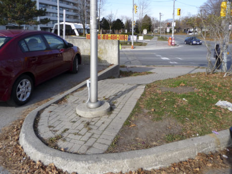
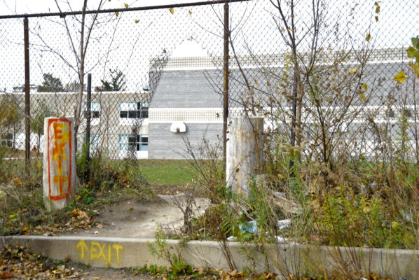
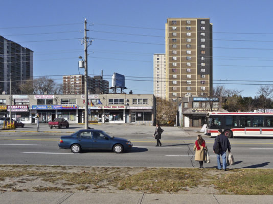
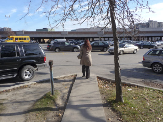
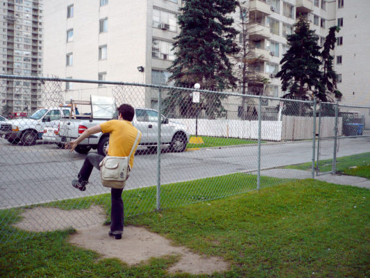
The high-rise neighbourhoods that ring Toronto were planned in the 1960s and 1970s. Most of the apartments were designed for people who had few children, would someday move to houses, and would be able to drive to the places they needed to go. The apartments were not in places designed for walking.
Today a different population is living in these tall apartments — often people with limited incomes, people with children and complicated travel needs, and people who do not own a car or who only have access to a car part of the time. In other words, neighbourhoods that were designed around cars now house people who must rely on busses and walking.
When you think of an area where you like to walk, it probably has well-maintained sidewalks, benches, good lighting, direct routes, and interesting buildings and stores. Or it might have shady green spaces, quieter routes or places where strollers, dogs and scooters are welcome.
Walkability is a measure of how inviting or un-inviting an area is to pedestrians. Places that promote walking to stores, work, school and amenities are better places to live. They promote healthier lifestyles, and they even have higher real estate values.
Everywhere you go, walkability makes places more welcoming, livable and safe.
This exhibition is based on the work of Paul Hess, Associate Professor in the University of Toronto’s Department of Geography and Program in Planning, with Jane’s Walk executive director Jane Farrow, photographer Katherine Childs, and graphic designer Mia Hunt.
Additional Reading
https://www.brainpickings.org/index.php/2012/11/15/walkable-city-jeff-speck/
Curated by:
Max Allen

